

Urban Mapping
With the evolving times, land needs are evolving, too. The growing population has brought in a need for urbanization. Cities worldwide are exhausted and pushed beyond their capacities. Thus, we need to plan new cities and urbanscapes that help make urban lives accessible and easy. Town planning has become complicated over time with technological advancements, building systems, evolved human needs, and dwelling patterns. Therefore, urban planning is gaining huge traction and requires the involvement of technology.
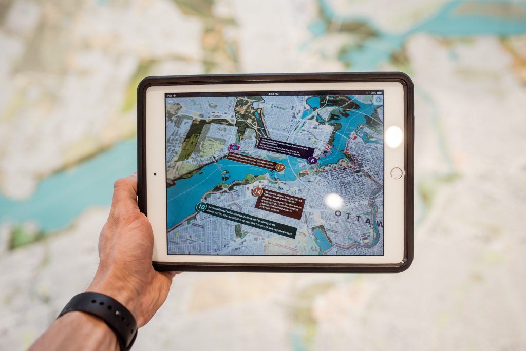
This involvement of technology is thus seen through the emergence of various tools and software that help make urban planning, mapping, and development more accurate and seamless than ever.
Here’s a list of the ten urban mapping tools that are currently driving the urban design process in the industry. Let us have a look!
Leading Urban Mapping Tools
1. CityCAD
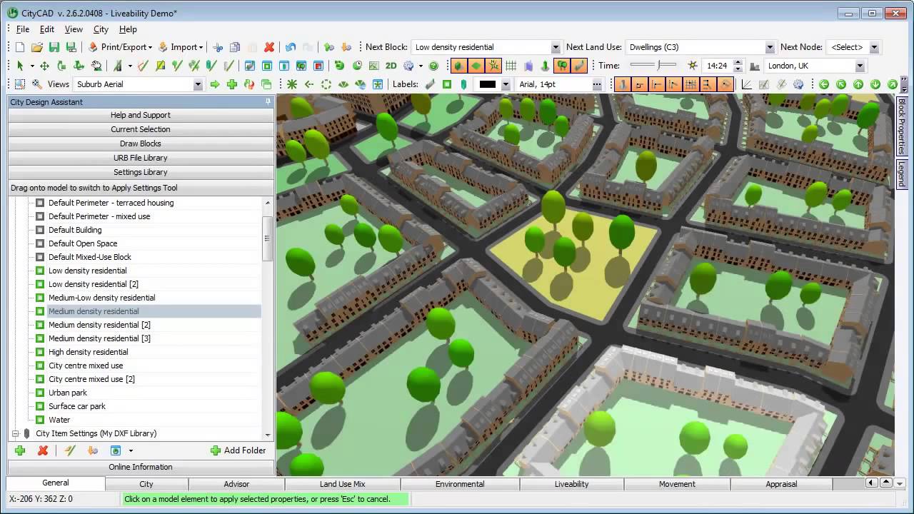
CityCAD helps urban planners and designers test the design schemes at the initial level and offers tools to perform a city analysis, providing a deeper insight into the master plan strategies. Though not used at a construction stage, CityCAD helps designers easily sketch urban maps and convert them into 3D developments. Moreover, it also helps derive quantitative analysis from the conceptual design master plans. Thus, this facilitates efficient urban mapping through its features that allow calculating energy consumption, water usage, and design feasibility.
2. QGIS
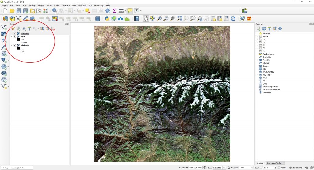
QGIS is an open-source GIS with pivotal features and immense capabilities. It is compatible with the industry standard maker of ArcGIS- Esri. QGIS has provisions to map multiple layers of data at a time. This makes the tool feasible for carrying out urban design processes like analyzing the relation between the mapped data layers, group locations, or elements, and determining criteria for analysis. This also aids in carrying out distance calculations, examining proximities, and the prompt creation of figure-ground maps.
3. GIMP
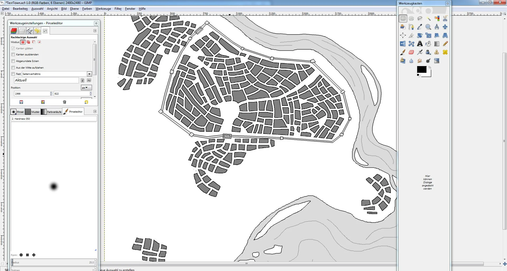
GIMP is a GNU Image Manipulation Program that facilitates raster-based image manipulation. Compared to Adobe Photoshop, GIMP is known to be a more effective and feasible tool for urban mapping. GIMP has a range of features that allows editing images, adding text to images, and overlaying graphic content on maps.
4. ESRI ArcGIS
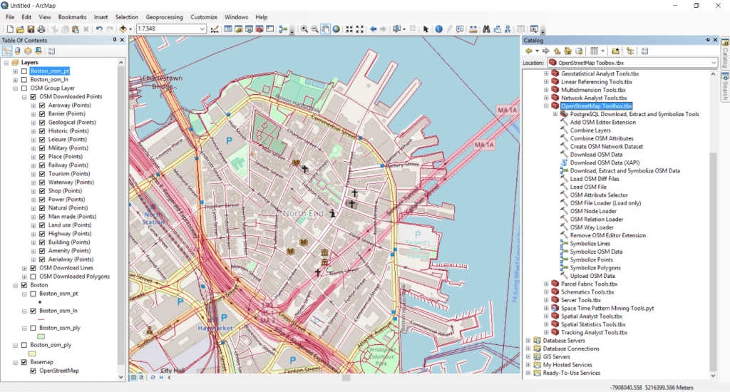
One of the most widely used GIS tools by urban designers, ESRI ArcGIS, has gained traction as it allows planning stakeholders to execute conventional urban planning methods much more efficiently and accurately. A range of functions offered by ESRI helps designers and planners compare different development scenarios and assess the impacts of different development plans, land use schemes, and demographic and employment cases. Thus, this tool helps designers with more informed decision-making.
5. Urban Footprint
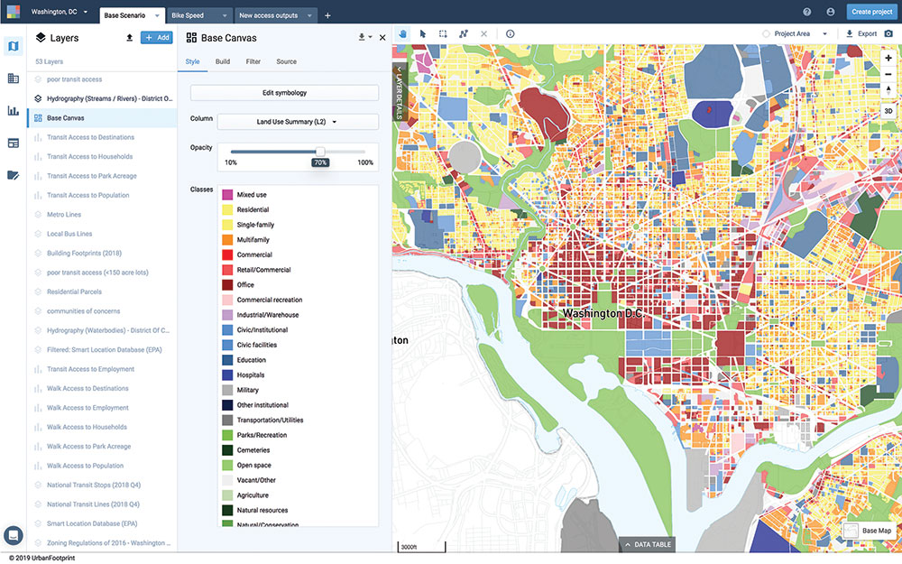
Urban Footprint helps urban designers in urban mapping by helping them analyze existing conditions and land use down right from a unit level with granular urban, environmental, and mobility data. It also aids in assessing and intersecting vulnerabilities, impacts, and policy interventions at the state, city, and neighborhood levels.
One key feature of Urban Footprint is that it allows urban planners to evaluate the impacts of climate change and natural hazards and helps map these aspects efficiently.
6. Google Earth
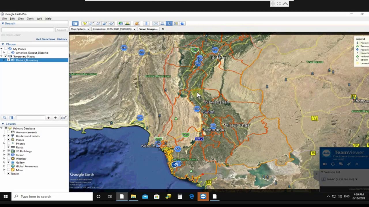
Another crucial tool for urban planners is Google Earth. Its key feature is that it is compatible with most urban mapping tools and software. Its ability to provide views of cities in an axonometric view makes it stand out from the rest of the urban mapping tools. Moreover, Google Earth also helps users accurately experience 3D perspectives and street views. It has features wherein users can accurately measure distance, add information on the maps as needed, and integrate it with GIMP and SketchUp. Google Earth has thus made a path-breaking progression for designers, helping them to explore cities and urbanscapes worldwide accurately.
7. Streetmix
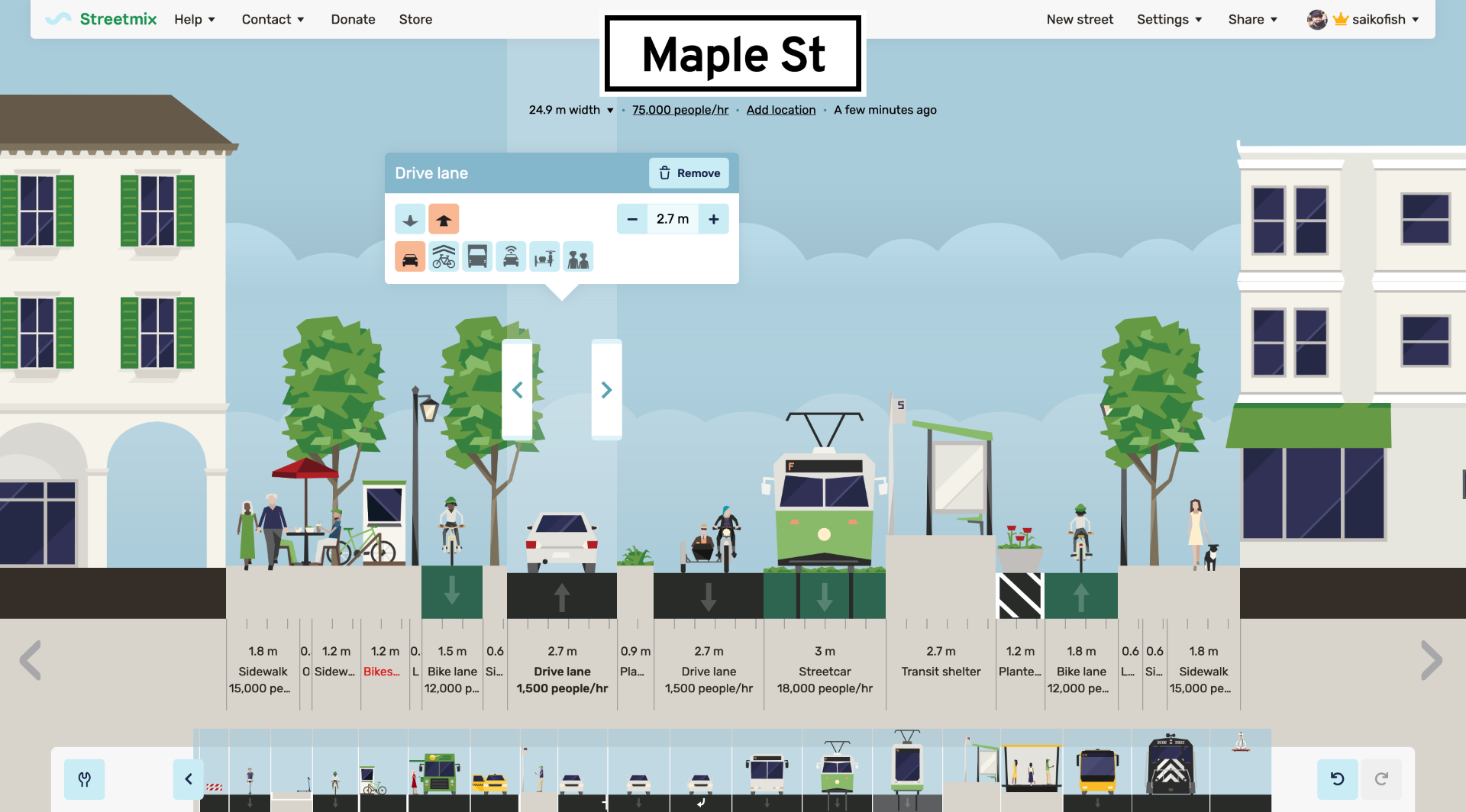
An online open-source street design tool, Streetmix provides users with an interactive and efficient system to create quick proposals for cityscapes. Streetmix is being created for city planners, public and private entities, and pedestrian and bike users to participate in the process of city planning and make cities accessible for all. It is thus a collaborative city planning platform with provisions for civic engagement that creates an ecosystem for people to design, remix, and include their choices and opinions for their streets.
8. ArcGIS Urban
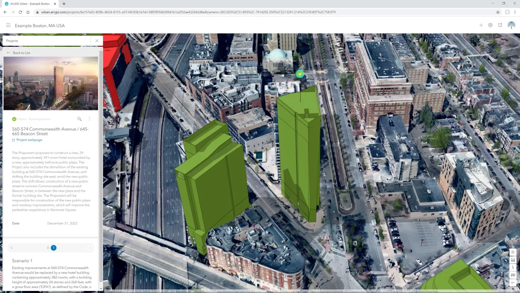
An ESRI application designed for urban planning, ArcGIS Urban helps urban designers and planners to create a 3D experience for a more realistic understanding of potential land use and urban development. This tool helps in better decision-making as it helps visualize the potential fit of the urban schemes and design into the local surroundings.
9. ArcGIS CityEngine
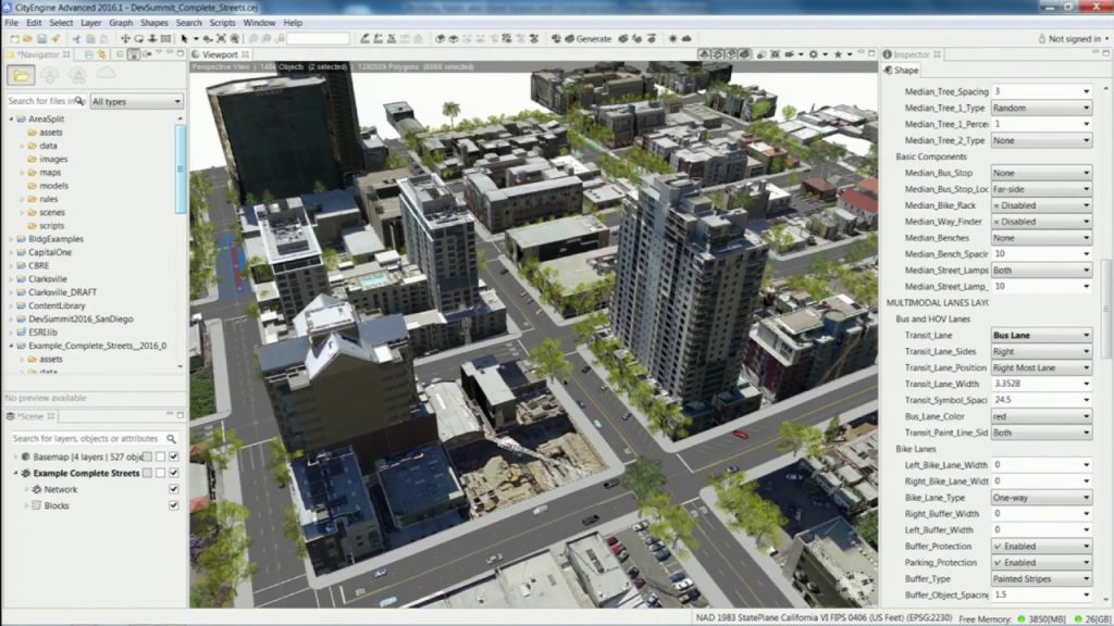
Another 3D modeling software, ArcGIS CityEngine, is used by urban planners, designers, and architects to envisage and plan large-scale urban schemes. This tool eliminates the need to model each building in the scheme separately. Thus, this would cut down the time and effort spent on large-scale urban mapping. This urban mapping tool also offers features to measure areas, pathways, and distances accurately, thereby facilitating a feasible comparison of development plans. Thus, when it comes to analyzing urban design and mapping solutions, ArcGIS CityEngine proves to be a well-known tool.
10. Modelur
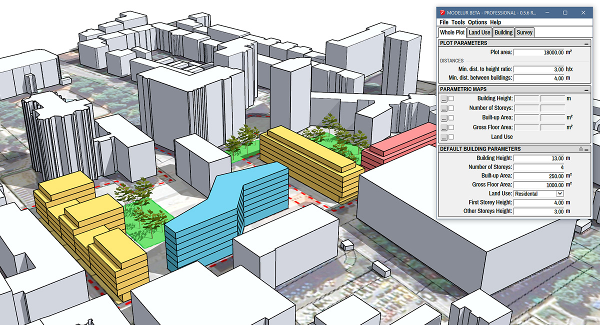
Modelur is actually a SketchUp extension with features and functions that are very similar to those of ArcGIS CityEngine. It is a simple and inexpensive tool that helps with impactful 3D development. Thus, conceptual urban massing is well-known among urban designers. Furthermore, what really sets Modelur apart from other urban mapping tools is its ability to calculate design and urban planning parameters like Floor Area Ratio (FAR), Gross Floor Area (GFA), Built-up Area (BUA), Site Coverage, etc., in real-time with extreme accuracy. It also helps analyze recommended parking lots and required green covers in the scheme, thereby helping position them efficiently on the maps.
And here is a bonus tool you might find useful:
*Lemur
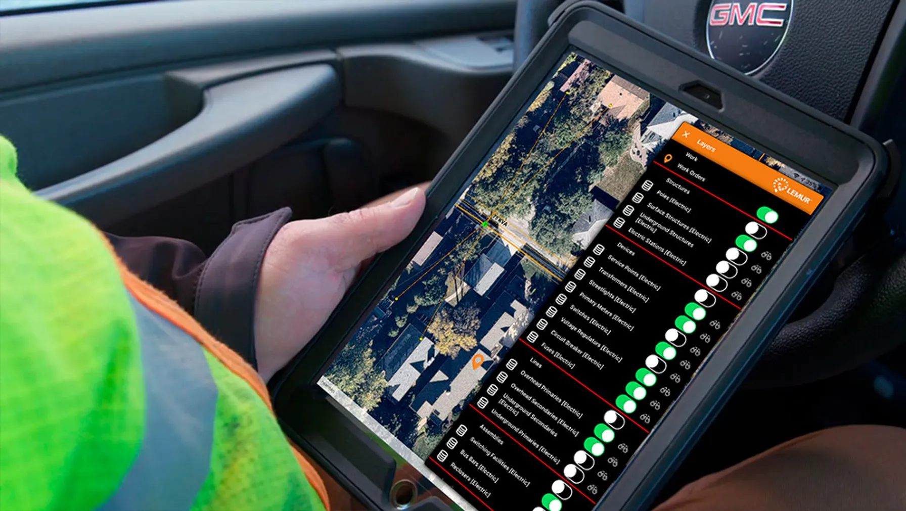
Lemur by TRC Companies ranks as one of the top GIS tools because of its versatility with mobile devices and connectivity to additional service apps. The program seamlessly weaves into existing digital infrastructure, eliminating time-consuming compatibility checks and immediately streamlining workflows.
It has immense utility in the field, primarily because it maintains its enterprise-level suite of features even while offline. The interface requires no training, allowing every staff member to receive its benefits immediately. The software also has numerous customization options facilitated by an easy-to-toggle system.
Users can also explore its countless operational options, from construction to vegetation management. It is just as easy to find gas valves in a city block as it is to locate proprietary heavy equipment on a jobsite, and it constantly collects information about assets to build a more accurate dashboard for organizations. Clients find they save up to 5% on field service costs because its efficiency reduces waste and overhead.
In Closing
These tools focus on creating a system where urban planning and development become more accessible and realistic. Thus, it has given rise to well-planned and well-assessed cities as well as urban schemes.
Learn with PAACADEMY:
Check out the workshops at PAACADEMY to learn from the industry’s best experts how to use advanced parametric design tools, AI in design workflows, and computational design in architecture!
